The city, a concept nearly as old as history itself, is a paradox of human innovation and intervention, order and conflict. From ancient civilizations to modern-day metropolises, maps have played a crucial role in urban progress. This book explores the development of cities through more than 70 captivating maps.
The city: a concept nearly as old as history itself, it is a paradox of human innovation and intervention, order and conflict. From ancient civilizations to modern-day metropolises, maps have played a crucial role in urban progress. This book explores the development of cities through more than 70 captivating maps.
Each map in this beautifully designed volume gives a unique visual representation of and historical context to the city it surveys. Spanning more than 9,000 years, this book expertly curates more than 70 historical maps which tell the fascinating story of human civilization: from cities founded on sacred places, ideas and power, to early examples of town planning and later innovations such as skyscrapers and urban transport.
Featuring maps of renowned capital cities as well as lesser-known urban areas, including:
- Mohenjo-Daro, c. 2500 BC
- Babylon, c. 600 BC
- Rome, c. 210 AD
- Baghdad, 762 AD
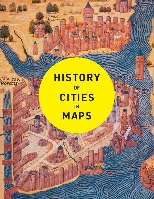
- Constantinople, 1422
- Tenochtitlan, 1524
- Dublin, 1610
- Kyoto, 1626
- New Amsterdam, 1660
- Edinburgh, 1780
- Adelaide, 1838
- Lagos, 1885
- Los Angeles, 1908
- Brasilia, 1957
- Chongqing, 2016
- Dubai, 2020
An ideal book for map and history lovers. For more in this series try History of World Trade in Maps (9780008409296) and History of War in Maps(9780008506490).
A historian and Sunday Times bestselling author with The Northmans Fury, who studied at Cambridge and Johns Hopkins University.
He has written widely on late antiquity, the early Middle Ages and world history, and his unique panoramic history of the nation was published by Collins: History of Britain in Maps.
He lives in London.

 Daugiau apie elektronines knygas